News in 2025
|
The UN GeoNow 2025 was organized by the United Nations Global Geospatial Knowledge and Innovation Centre (UN-GGKIC) as a dedicated week for innovation in geospatial applications. Guided by the core principles of innovation, leadership, cross-boundary, and integration, the event aims to build a global geospatial application ecosystem. By promoting high-level applications of geospatial information across industries, it seeks to drive geospatial innovation and accelerate progress toward the UN Sustainable Development Goals (SDGs).
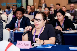
Over 1,000 representatives from UN agencies and dozens of countries
around the world gathered to discuss strategies for cooperation and
innovation in geospatial information and to explore a pathway for
sustainable development.
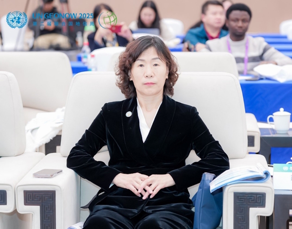
FIG vice president Qin Yan attending the opening ceremony of UN GeoNow 2025.
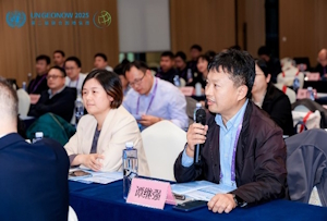
At the opening ceremony, FIG vice president Qin Yan delivered a report entitled 'Lucid Waters and Lush Mountains Index in support of assessing Sustainable Development Goals(SDGs): The case of Chongqing' at the forum of integrated rural-urban development and good governance. Based on China's ecological civilization construction initiative to actively implement the SDGs, the presentation introduced the 'Clear Waters and Green Mountains Index' supported by satellite remote sensing data and evaluated the progress of SDGs in Chongqing over the past decade. It focused on the significance that this index can provide a standardized methodology, technical pathway, and replicable practical cases for global sustainable development assessment.
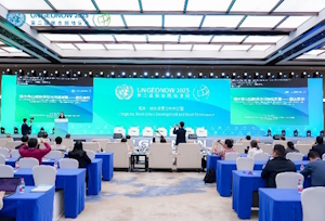
Over 1,000 representatives attending UN GeoNow 2025.
|
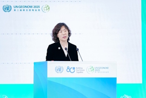
FIG vice president Qin Yan delivering the report entitled "Lucid
Waters and Lush Mountains Index in support of assessing Sustainable
Development Goals (SDGs): The case of Chongqing".
|
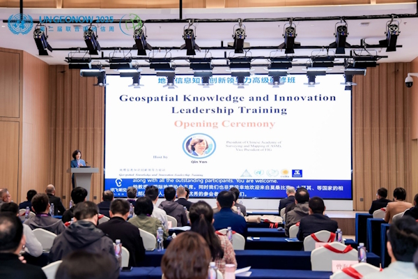
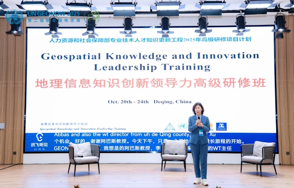
FIG vice president Qin Yan hosting opening ceremony of ‘Geospatial Knowledge and Innovation Leadership Training’.
This initiative, aligned with FIG's mission to advance international
cooperation in surveying and mapping, brought together a diverse cohort
including geospatial experts, UN officials, government authorities from
Turkey, South Africa, and Mozambique, and representatives from over 50
Chinese institutions. The program addressed critical challenges at the
intersection of digital intelligence and sustainable development, aiming
to cultivate future leaders equipped with innovative geospatial
solutions.
Organizing Geospatial Knowledge and Innovation Leadership Training
|
|
|
|
Website for the event: https://ggim.un.org/meetings/2025/UN_GeoNow/
Qin Yan, FIG Vice President
29 October 2025