FIG Commission 5 and 6 and SSGA Workshop on “Innovative Technologies for an Efficient Geospatial Management of Earth Resources”Listvyanka, Russian Federation, 23-30 July 2009
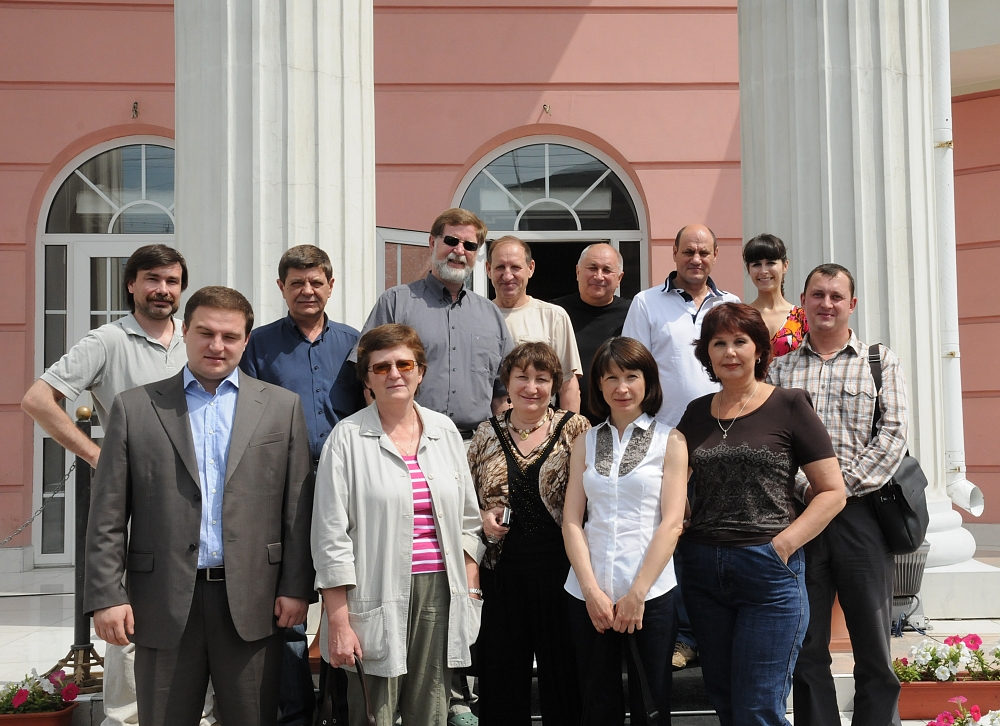
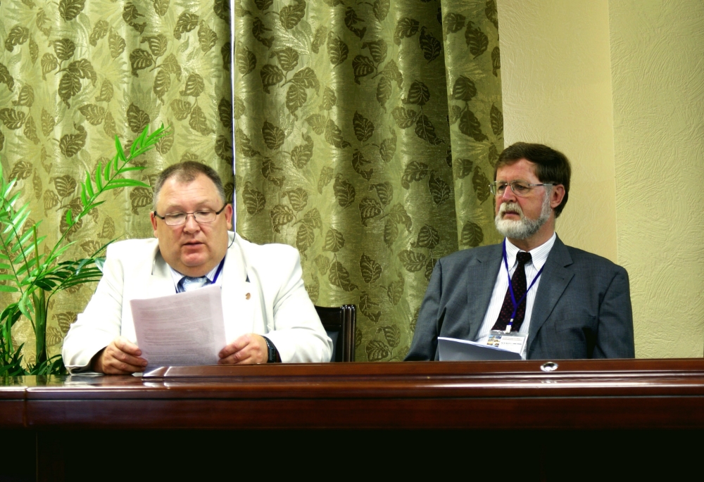
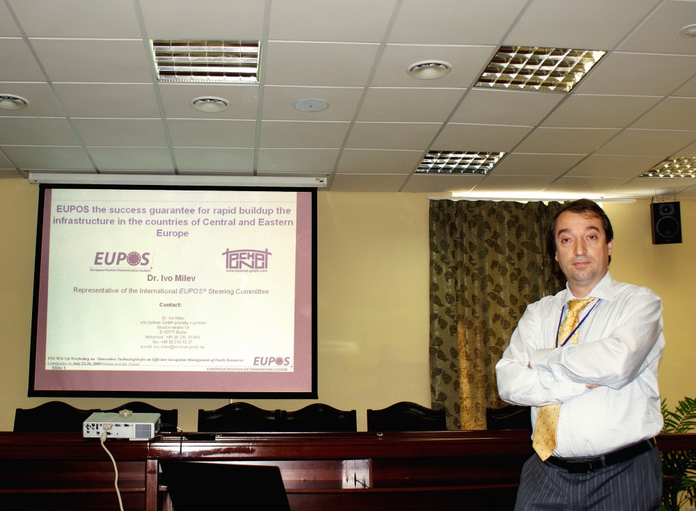
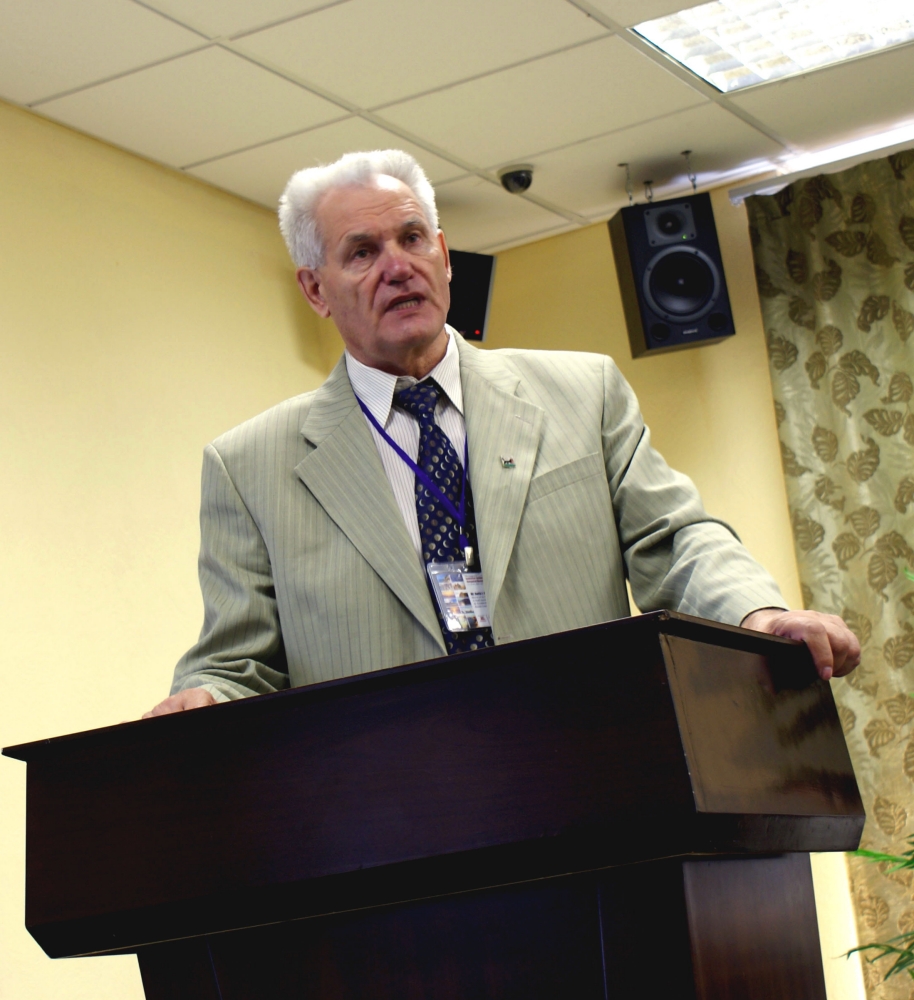
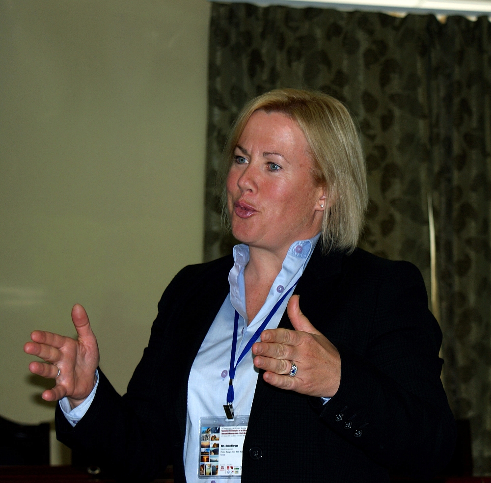
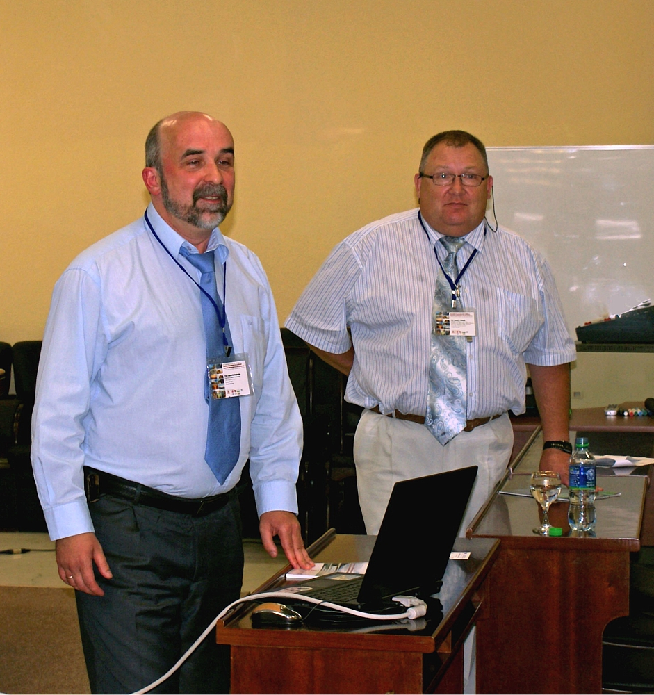
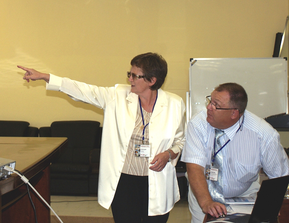
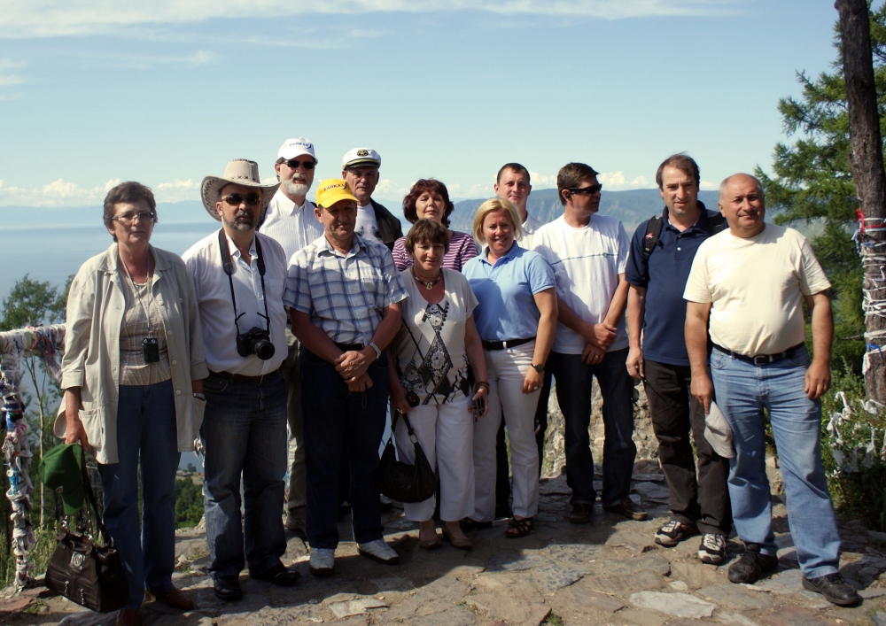
FIG Commissions 5 (Positioning and Measurement) and 6 (Engineering Surveys) together with the Siberian State Academy of Geodesy (SSGA) organised a Workshop on “Innovative Technologies for an Efficient Geospatial Management of Earth Resources” 23-30 July 2009. The venue of the Workshop was on Lake Baikal in the settlement of Listvyanka, Russian Federation. This Workshop was attended by about 40 participants from Germany, Canada and Russia representing the Administration of Novosibirsk Region, universities, associations and various companies. Among these companies following should be mentioned: GIS Association, Optech Incorporated, GAZPROM VNIIGAZ Ltd., "NPK Jena Instrument Ltd.", Altex Geomatica Company, FORES LLC, Territorial Planning Institute “GRAD” Ltd., Irkutsk State Technical University, JSC “Independent Resources Company”, Irkutsk Railroads Design Institute, “ITE Siberian Fair”, etc. Technical programme included 20 presentations in four technical sessions. “MORION” company was the general sponsor of the Workshop. The participants and guests were welcomed on the opening ceremony by Prof. Dr. Alexander D. Afanasyev (Vice Rector for Scientific Studies, Irkutsk State Technical University), Prof. Dr. Lothar Gruendig (FIG WG 6.3 Chair), Prof. Vladimir Seredovich (SSGA, Vice Rector for Innovative Activities), Mr. Boris I. Ivlev (Administration of Novosibirsk Region, Director of the Foundation for Assistance to Small Innovative Enterprises (FASIE) for Novosibirsk Region), Dr. Sergey A. Miller (President of GIS Association), and Prof. Anatoly L. Okhotin (President of the Baikal Union of Mining Surveyors, Head of the Department of Mine Surveying, Irkutsk State Technical University). A comprehensive set of topics related to the theme of the Workshop were discussed – in an area where many new satellite systems and other sensing technologies are being rapidly improved and are being supportive in many applications for society. Amongst these topics are:
The main results and outcome from the workshop are:
A great attention was given to data integration receiving from airborne lidar survey and remote sensing to solve the problems of Earth’s resources monitoring. The presentations made by the participants (SSGA, ‘BaikalGeoService’ and ‘Optech’ companies) were devoted to the key problems of sharing data of aerial and terrestrial laser scanning including mobile terrestrial complexes as well as aero photographic, thermal and hyperspectral data. Most participants emphasized, that only a combined approach can provide the real solving of Earth’s resources management problems. The problems of geospatial data acquisition used for surveying, engineering and prospecting tasks were also discussed. Mr. Vyacheslav T. Zalutsky (PhD, Senior Geodesist, Irkutsk Railroads Design Institute, Department of Explorations, Irkutsk) emphasized in his presentation “Some Geodetic Technologies of Explorations on the East-Siberian Railway” how they have combined, tested and used geodetic, surveying and GIS technologies for needs of railway branch. The Siberian State Academy of Geodesy has published the technical programme and workshop proceedings on paper and a CD-ROM (including presentations). The presentations can also be seen on FIG Commission 6 web site. Dr. Ivo Milev Prof. Evgene M. Medvedev Mrs. Argina Novitskaya Read more:
16 August 2009 |